Shop
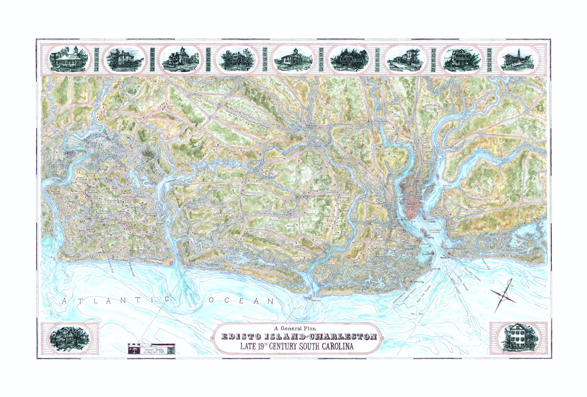
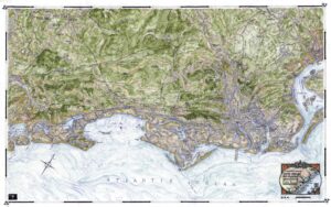
A General Plan of Edisto Island to Charleston, Late 19th Century South Carolina
$170.00
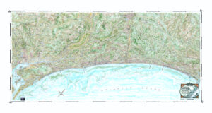
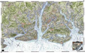
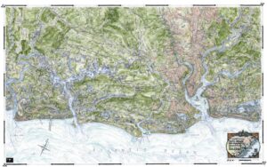
This historical companion map to the contemporary Edisto Island to Isle of Palms, Map #32, represents the same area in a simpler and more bucolic time and illustrates the changing Lowcountry landforms over the past 100+ years. It focuses on historic Charleston with its iconic surrounding forts (Sumter, Moultrie, Ripley, Johnson, Castle Pinckney), harbor and outposts and more rural Edisto Island with its many stately plantation houses and houses of worship (individual vignette drawings of some of these border the map). They are all related to the same familiar shoreline and waterways with individual houses and taverns highlighted along with the prominent railroad connections and post roads.
37S. 20×32″