Shop
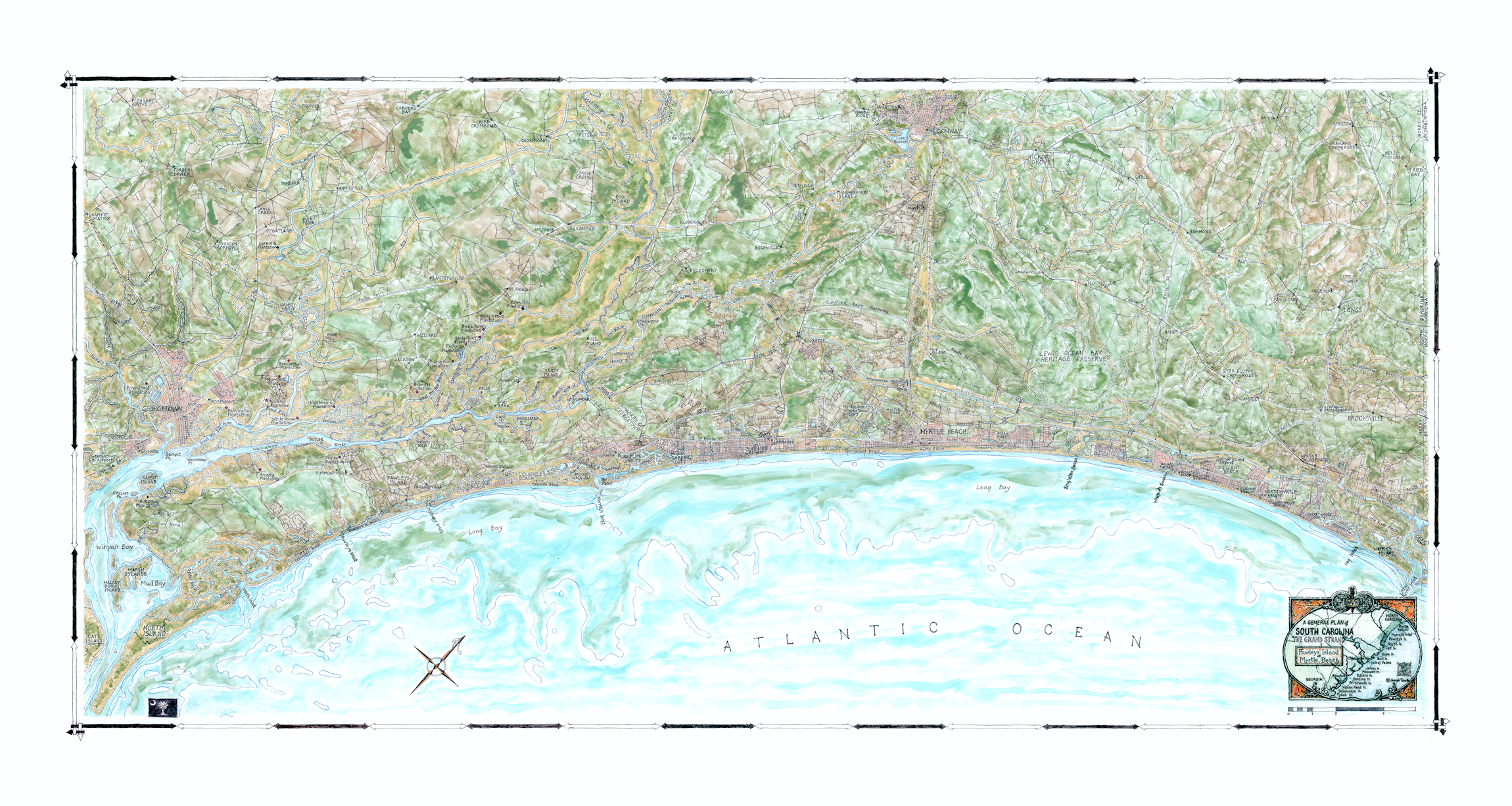
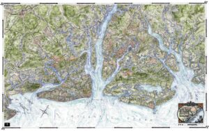
A General Plan of South Carolina—The Grand Strand—Pawleys Island to Myrtle Beach
$190.00
The final map that completes the entire coastline from Winyah Bay to the North Carolina border. Centered on the family-and-golf resort, Myrtle Beach, in the middle of the 30+ mile stretch of sand known as the Grand Strand. The map also highlights Murrells Inlet, a cozy group of inland islets and showcases numerous seaside towns as well as larger cities such as Conway and Georgetown and the Lewis Ocean Bay Heritage Preserve.
36S. 20×40″