Shop
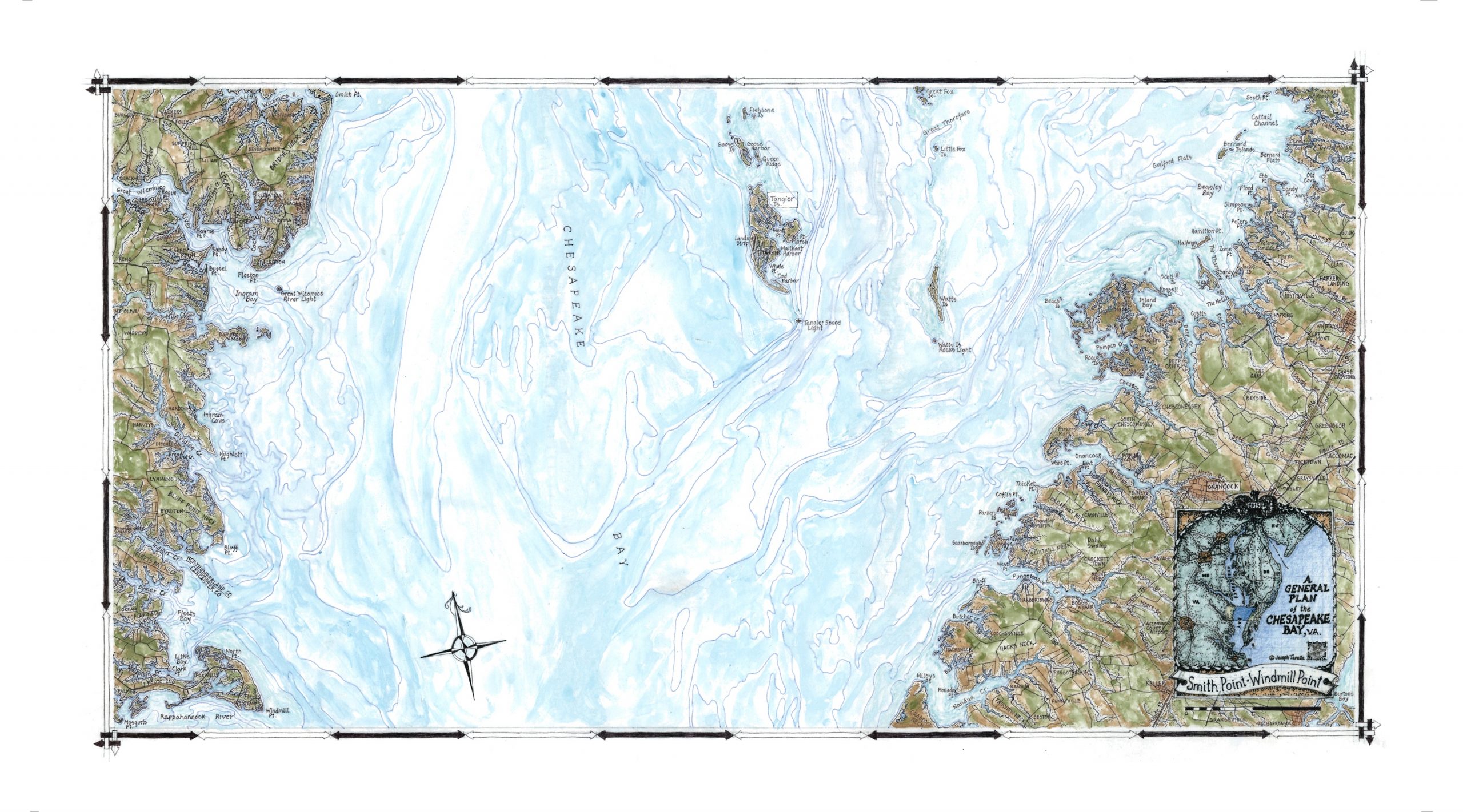
Chesapeake Bay – Smith Point to Windmill Point
$165.00
The seventh map represents the most northerly part of the great Bay in Virginia. This map comprises significant areas of water including Pocomoke Sound and the Wicomico and Rappahannock Rivers, embracing the nature sanctuary of Tangier Island. Classic Chesapeake towns such as Kilmarnock and Irvington, Whitesville and Onancock dot the sparse landscape on both the eastern and western shorelines.
28S. 17×32″


